
GTA 6 locations and regions
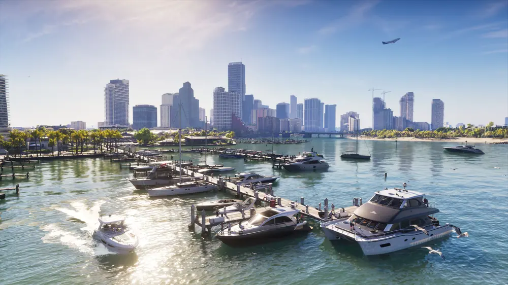
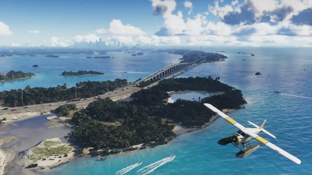
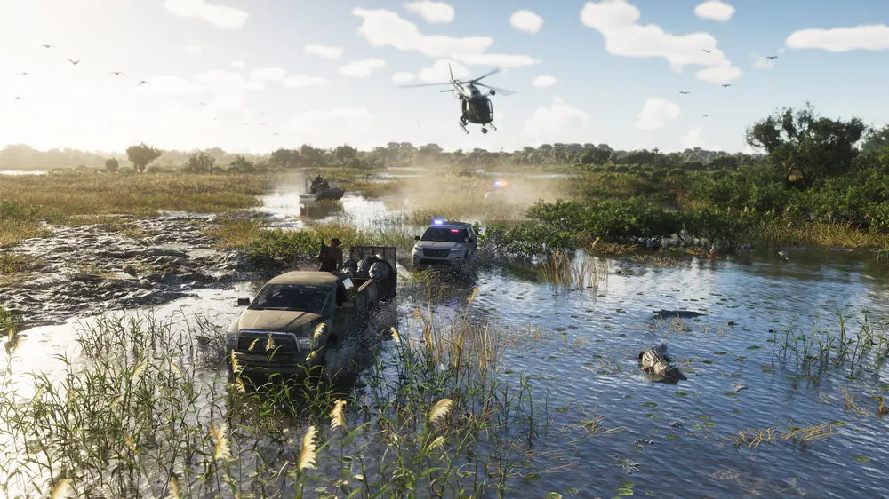
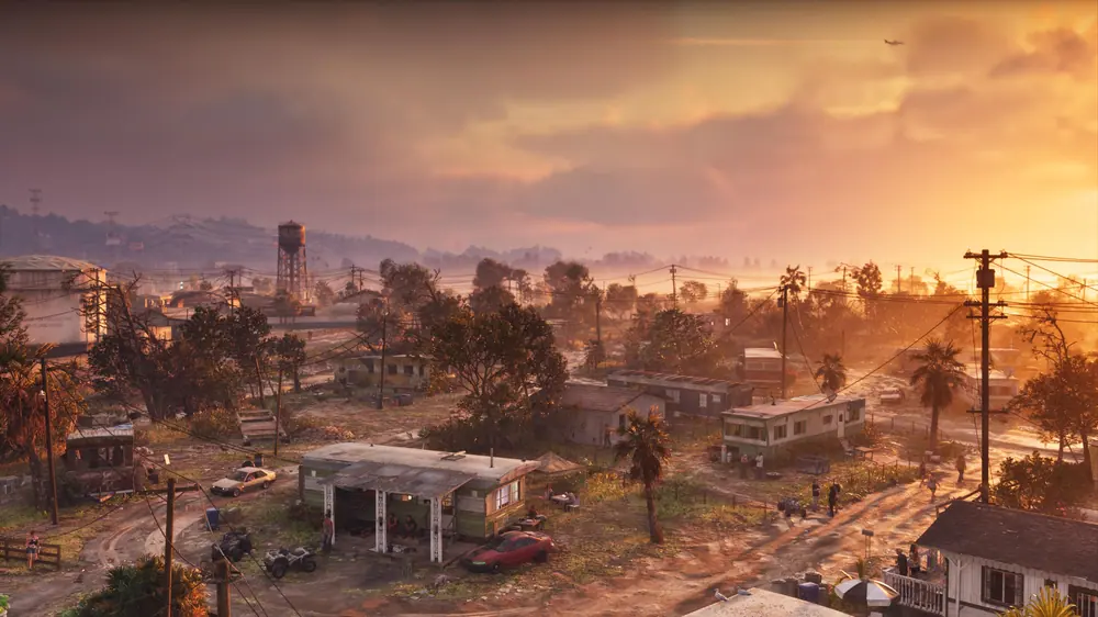
GTA 6 takes place in Leonida, a fictional version of Florida. Vice City is on its east coast. Rockstar’s tour also names the Leonida Keys, Grassrivers, Port Gellhorn, Ambrosia and Mount Kalaga National Park.
Open the Leonida mapFind a map square
Find a place on the printed map
Select a place name or grid reference to open it on the map. On the printed poster the letter runs down the side and the number across the top. Vice City is in G7. Regions and roads can extend across several squares.
| Place | Map square | What to look for | Map |
|---|---|---|---|
| Mount Kalaga National Park | C5 | Northern park with off-road trails. | View on mapRegion label |
| Port Gellhorn | E3 | West-coast town with motels and closed attractions. | View on mapCity label |
| Ambrosia | E5–E6 | Inland town associated with the Allied Crystal sugar refinery. | View on mapTown label |
| Vice City | G7 | Eastern urban area. Vice Beach is across the water in G8. | View on mapCity label |
| Vice City International Airport | H5–H6 | Look for VCIA southwest of the Vice City label. | View on mapLandmark label |
| Grassrivers | I4–I5 | Wetlands and mangroves. Hamlet is to the east in I5–I6. | View on mapRegion label |
| Key Lento | K6 | A named stop in the island chain to the south. | View on mapTown label |
| Southwind | L3 | Look farther southwest for the town and Mile Zero Air Station. | View on mapTown label |
Counties and destinations
Rockstar’s poster names five counties. They are Lummox, Leonard, Kelly, Vice-Dale and Mariana. The six destinations on Rockstar’s tour include Vice City, the Leonida Keys and the Grassrivers wetlands.
Find a specific neighborhood
Ocean Beach is the place to look for Art Deco hotels. Little Cuba has bakeries, Tisha-Wocka has a flea market, and VC Port is the cruise port. For a pickup or activity at one of those places, use a marker map once you know which part of the state you need.
| Landmark or district | Grid on the poster | How to recognize it | Map |
|---|---|---|---|
| Allied Crystal | E5–E6 | The refinery label sits beside Route 35, south of central Ambrosia. | View on mapLandmark label |
| Leaf Links | F8 | A green oval on the island east of the Decor District. | View on mapLandmark label |
| Stockyard | F7 | On the mainland end of the crossing to Penmarch Isle. | View on mapDistrict label |
| Tisha-Wocka Flea Market | G6 | West of Balsero, between Route 35 and the interstate. | View on mapLandmark label |
| Little Cuba | G7 | Between Salton and Downtown, north of the airport. | View on mapDistrict label |
| Starfish Island | G8 | A small island between the mainland and Ocean Beach. | View on mapIsland label |
| Ocean Beach | G8–G9 | The long Atlantic beach east of Starfish Island. | View on mapDistrict label |
| Port Vice City | H8 | Docks across the channel south of Ocean Beach. | View on mapLandmark label |
| Mile Zero Air Station | L3 | Runways near Southwind, at the far end of the island chain. | View on mapLandmark label |
Other places mentioned
| Place | Grid | Where to look | Map |
|---|---|---|---|
| Leonida Keys | K6–L3 | The chain of islands between Key Lento and Southwind. The marker identifies the island chain. | View on mapRegion reference |
| Vice Beach | G8–G9 | The long island east of Vice City. Ocean Beach is on its Atlantic side. | View on mapArea label |
| Hamlet | I5–I6 | East of the Grassrivers and north of the southern island chain. | View on mapTown label |
| Lummox County | C5 | Northern county containing Mount Kalaga National Park. | View on mapCounty label |
| Leonard County | E7 | Northeast of Vice City, east of Lake Leonida. | View on mapCounty label |
| Kelly County | F4 | West-central county around Port Gellhorn, the mud club and the raceway. | View on mapCounty label |
| Vice-Dale County | H7 | The county around Vice City and the airport. | View on mapCounty label |
| Mariana County | J4 | The southwest area around Watson Bay and the Keys. | View on mapCounty label |
| Decor District | F7 | North of Stockyard, west of Leaf Links. | View on mapDistrict label |
| Penmarch Isle | F8 | Between Stockyard and Washington Island. | View on mapIsland label |
| Balsero | G6 | Just east of the Tisha-Wocka Flea Market. | View on mapDistrict label |
| Salton | H6 | Immediately northeast of the airport. The neighborhood label falls just inside row H. | View on mapDistrict label |
All places by name
- Allied Crystal · E6
- Amber card in Belville · G6
- Ambrosia · E5–E6
- American Eel hotspot · L4
- Apartment southwest of WHS Ocean Beach · G8
- Ascent Mountain · C5
- Atlantic Spadefish hotspot · F9
- Atlantic Spanish Mackerel hotspot · I3
- Atlantic Tarpon hotspot · M6
- Atlantic Thread Herring hotspot · J5
- Badger R&D Tower · K6
- Balsero · G6
- Bayside · G7
- Bayside apartment · G7
- Belville · F6–F7
- Big Pine · I4
- Black Drum hotspot · E3
- Black Grouper hotspot · B4
- Bluegill hotspot · L5
- Bluestriped Grunt hotspot · J3
- Bonanza · B5
- Boone Speedway · J5–J6
- Brooks Boatworks · E3
- Buckskin Swamp · G5
- Cal’s Gambit Bay fishing challenge · K5
- Camp Moonflower · F5
- Candy Fish hotspot · H4
- Capri · G3
- Catalan Blvd Garden · G7
- Channel Catfish hotspot · E6
- Chip card in Watson Bay · I4
- Chuck’s Tackle & Shot · K6
- Cleo card in Fairyland Forest · C5
- Coastal Auto Care · K6
- Cobia hotspot · G5
- Common Snook hotspot · G9
- Cottonmouth Lake trailer · K5
- Crosstown · G7
- Crystal card in Shoreline · H7
- Cyrus card in Little Cuba · H6
- Daisy card in Bohemia · F7
- Decor District · F7
- Delights Cabaret · E3
- Downtown · G7
- Draper Island · D2–D3
- Emerald River · F5
- Emerald Springs · F5
- Flam Gummies · G7
- Gellhorn Raceway · F3
- Gimme All Your Oil · F7
- Gloriana Key · I8
- Grassrivers · I4–I5
- Grayson · C4
- Great Barracuda hotspot · I5
- Greater Amberjack hotspot · K6
- Green Moray Eel hotspot · I9
- Hamlet · I5–I6
- Harley card in Port Gellhorn · E3
- Hogfish hotspot · C7
- Island Dreams Boat Charters · K6
- Jack of Hearts · G7
- Jason card in Port Gellhorn · E3
- Jason’s house · K6
- Jutting Cliff · C5
- Kandi card in Little Cuba · H6
- Kelly County · F4
- Key Lento · K6
- Key Lento fishing dock · K6
- Kingpin Bowling · F3
- La Cascara Motel · E3
- La Perle · G7
- Lake Chubsucker hotspot · K7
- Lake Leonida · E6
- Lance card in Dalton Island · H9
- Large Lure sculpture · H8
- Largemouth Bass hotspot · C6
- Leaf Links · F8
- Leonard County · E7
- Leonida Gar hotspot · G8
- Leonida Keys · K6–L3
- Leonida Snow · H7
- Little Cuba · G7
- Littlehead Porgy hotspot · J5
- Lucky card in Bohemia · G7
- Lummox County · C5
- MacAlister Gold Mine · C5
- Mahi Mahi hotspot · G2
- Manifest Canyon · D4
- Mariana County · J4
- Mario card in Peacock Bay · I6
- Mile Zero Air Station · L3
- Millport · C6–C7
- Moreau · C5
- Mount Kalaga National Park · C5
- Nevaeh card in Redhill · B5
- Nicole card in Hamlet · I6
- No Flusher tag at The Banana Hole · G9
- Northern Red Snapper hotspot · I3
- Nuestra Señora de la Noche treasure area · L6
- Nuestra Señora de la Ética Laxa treasure area · L5
- Ocean Beach · G8–G9
- Ocean Beach baseball dugout · G8
- Ocean Beach home · G8–G9
- Orange Ocean Beach lifeguard stand · G9
- Pelican Valley outpost · J5
- Penmarch Isle · F8
- Perla card in Belville · G6
- Permit hotspot · L2
- Port Gellhorn · E3
- Port Vice City · H8
- Red Lionfish hotspot · I8
- Red Rocks · D4
- Redbreast Sunfish hotspot · J3
- Redfin Pickerel hotspot · F5
- Rock Sea Bass hotspot · E6
- Rockridge · G6–G7
- Rooftop west of Cafe Orquidea · G8
- Salt Fish hotspot · G5
- Salton · H6
- Seaside · E7
- Shore Court Garage · G8–G9
- Smooth Sand · G3
- Southwind · L3
- Southwind aircraft docks · L3
- Spotted Moray Eel hotspot · L6
- Starfish Island · G8
- Starlet Motel · E3
- Starlet Motel card pickups · E4
- Stockyard · F7
- Stoplight Parrotfish hotspot · D8
- Striped Bass hotspot · K5
- Swamp · G5
- Tallaloko · C6
- The Rusty Anchor · K6
- Thelma card in Key Lento · K6
- Tiger Grouper hotspot · B6
- Tisha-Wocka Flea Market · G6
- Tracy card in Little Cuba · H6
- Vice Beach · G8–G9
- Vice City · G7
- Vice City International Airport · H5–H6
- Vice-Dale County · H7
- Vicki card in Peacock Bay · I6
- Waning Sands · E7
- Washington Beach · F8–F9
- Water Wheel · C5
- Waterfall · C6
- Watson Bay · J4
- Yellowfin Tuna hotspot · E2
- Yellowtail Snapper hotspot · H2